Our River
Our River
The St. Johns River is the longest river in Florida, flowing 310 miles north from its headwaters at Blue Cypress Lake in Indian River County to its mouth where it empties in to the Atlantic Ocean east of Jacksonville. Contrary to what some might think, the fact that our river flows north is not very unusual. Water flows in the path of least resistance – there are rivers and tributaries all over the world that flow east, west, north, and south. The St. Johns flows north because its headwaters are a mere 27 feet higher in elevation than where it ends – dropping approximately one inch per mile over the course of 310 miles. This slow drop in elevation makes it one of the “laziest” rivers in the world. Nearly 16% of the state, the St. Johns River watershed covers an area of nearly 9,000 square miles and is home to over five million people. The Timucua Native Americans named the river we know as the St. Johns, Welaka, or river of lakes, because there are so many lakes (nearly 3,500!) found in the watershed.

Upper Basin
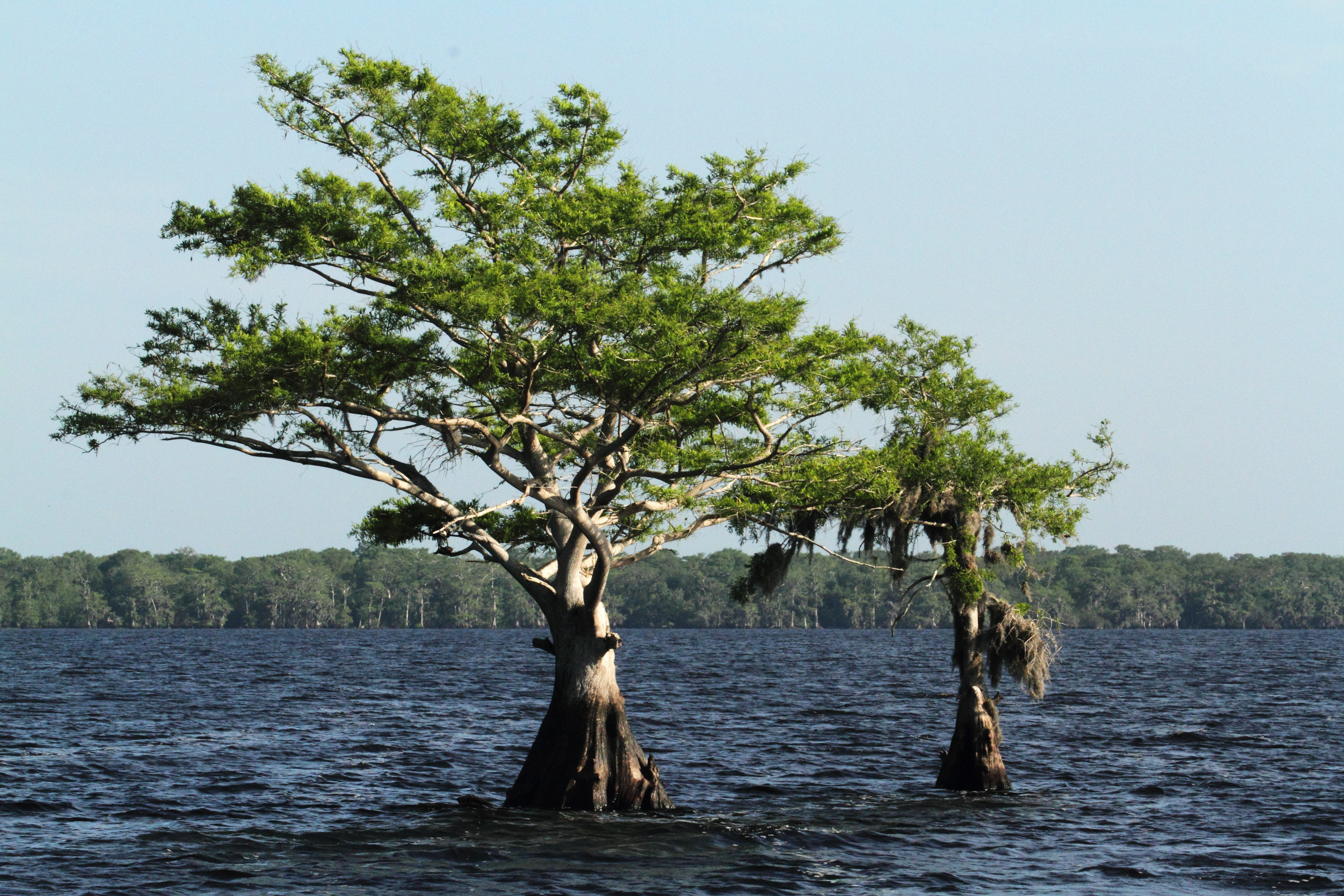
The upper basin is where our river begins its 310-mile journey at its Headwaters or source on Blue Cypress Lake in Indian River County, FL (about 30 miles west of Vero Beach, FL). This section of the river is characterized by indistinct banks, many swamps and shallow lakes making it the hardest area to navigate as there is no main channel. Here, our river’s flow is fed by rainwater and some springs. The larger lakes in the upper basin include: Lake Hell ‘n’ Blazes, Sawgrass Lake, Lake Washington, Lake Winder, Lake Poinsett, Ruth Lake, Puzzle Lake, Lake Harney, Lake Jesup, and Lake Munroe.
Middle Basin
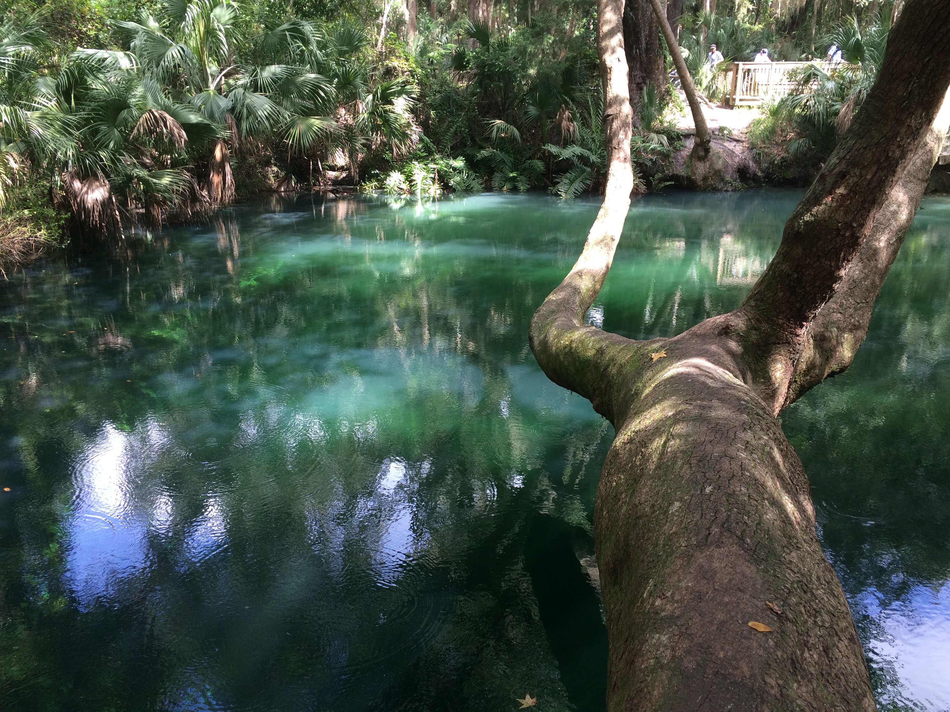
The middle basin begins in east-central Florida where the river widens after it is joined by the Econlockhatchee River, one of three major tributaries of the St. Johns. The input of water from the Econlockhatchee causes the current in the St. Johns River to become faster. There are also more than 100 springs in the watershed, found largely in this section, which attribute to 30% to the river’s natural flow. Nearly 1/3 of the manatee population in Florida retreats to Blue Spring to seek the constant 72 degree warm waters during the winter months. The middle basin runs through Ocala National Forest and Lake George, the largest lake found on the St. Johns River.
Lower Basin
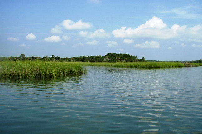
The lower basin begins where the Ocklawaha River, the largest tributary of the St. Johns, joins the river. After the river enters Clay County, home to Black Creek and Doctor’s Lake, it averages two miles in width. This section of the river is largely characterized by heavy industry, strong tides, a wider and straighter river channel and spans of estuaries – one of the richest ecosystems in the world. Once the river meets Jacksonville, it turns east for the first time and empties into the Atlantic Ocean where 42,000,000 gallons of saltwater are flushed into the St. Johns every day.
Explore the St. Johns
An important part of our work is to educate people about the wonders of the St. Johns and introduce them to the many beautiful and special places throughout the river’s watershed. Our sister website, Explore the St. Johns River, is your one-stop-shop for your next adventure along the watershed by foot, bike, ‘yak or boat. Get ready to Get Your Feet Wet!
Discover:
